
Digital twin · 3D laser scanning · Drone survey · VR
Digital twins, drone mapping and 3D reality capture
For real estate, construction and heritage. Islamabad · Riyadh · Austin.
- digitised
- 2 billion m²
- drone survey capacity
- 2,000 acres/day
- than ground surveys
- 10x faster
- heritage projects delivered
- UNESCO
Our collaborations












One partner, whole project
From empty land to sold-out project
Most developers juggle a surveyor, a GIS vendor, a photographer and a rendering studio. We do all four, on one set of accurate data.
- 01
Plan
Drone topographic surveys give your engineers an accurate 3D model of the land before design starts.
Learn more - 02
Manage
A Web GIS digital twin keeps plots, members, payments and survey data in one secure portal.
Learn more - 03
Monitor
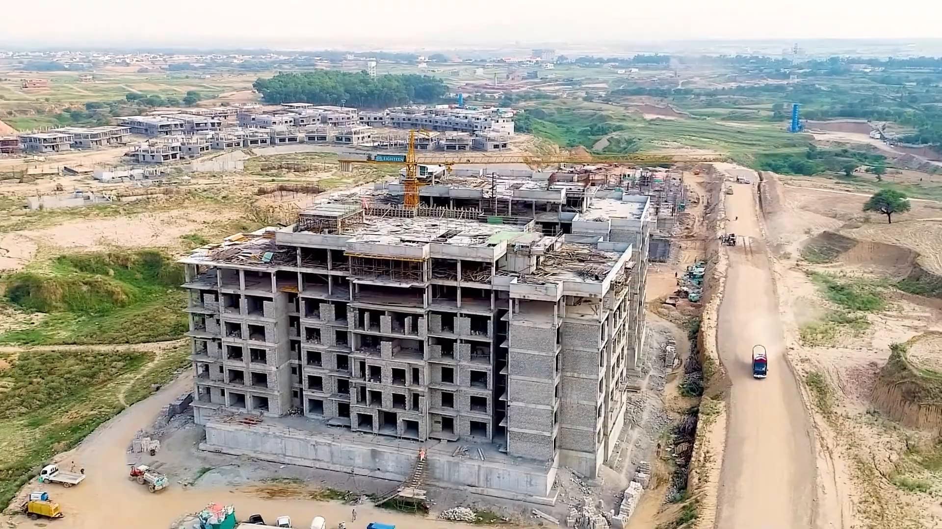
VR time travel lets you walk every phase of construction in 360°, from groundbreaking to handover.
Learn more - 04
Sell
Photorealistic renders, animations and VR tours let buyers experience the property before it is built.
Learn more
Services
Geospatial and immersive technology, under one roof
Seven services that work on their own or together on the same project data.
Drone survey
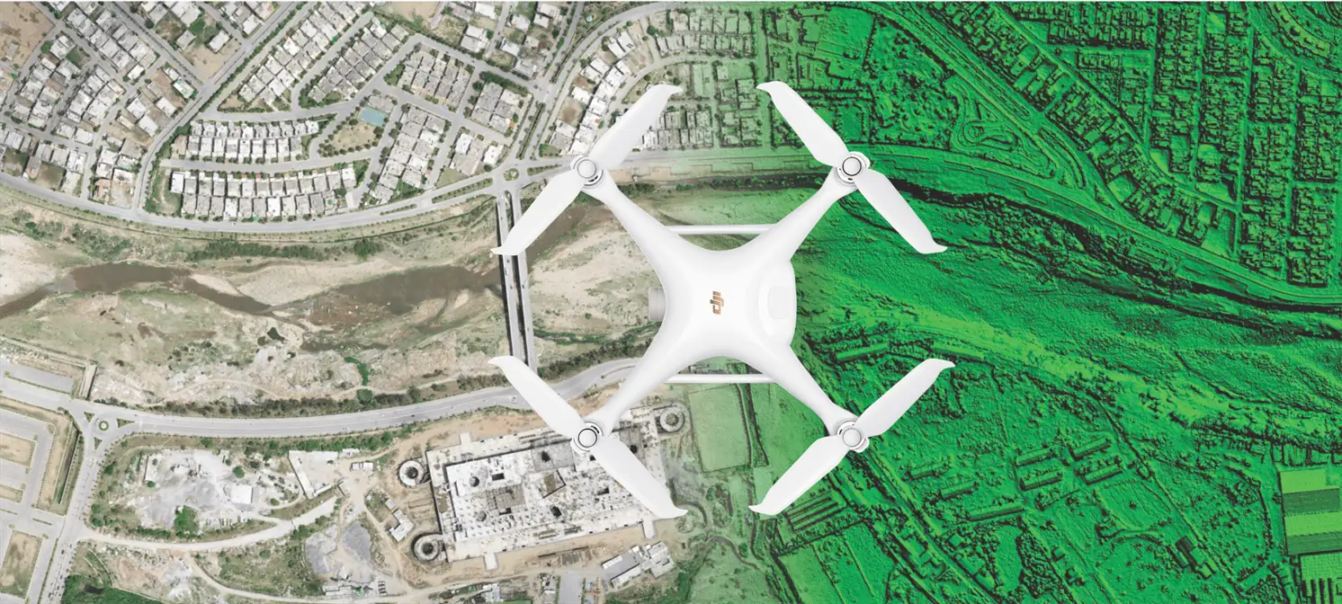
Drone surveys across Pakistan, 800–2,000 acres a day with centimetre-scale accuracy. Orthophotos, elevation models, contours and 3D terrain for master planning.
Explore
Digital twin GIS
One secure Web GIS portal for your whole project. Plots, members, payment schedules and survey data on an interactive map.
Explore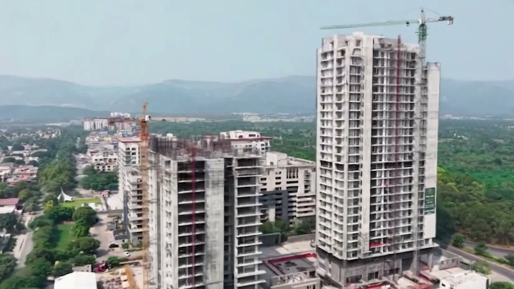
Construction monitoring
Step into your site at every phase. 360° captures on a VR timeline for remote oversight, audits and investor updates.
Explore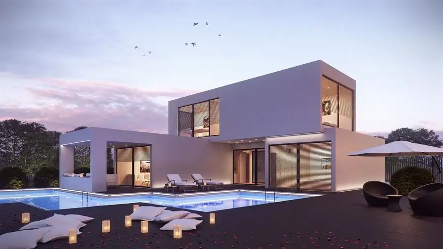
VR and 3D visualisation
Photorealistic renders, animations and VR walkthroughs that let buyers experience a property before it is built.
Explore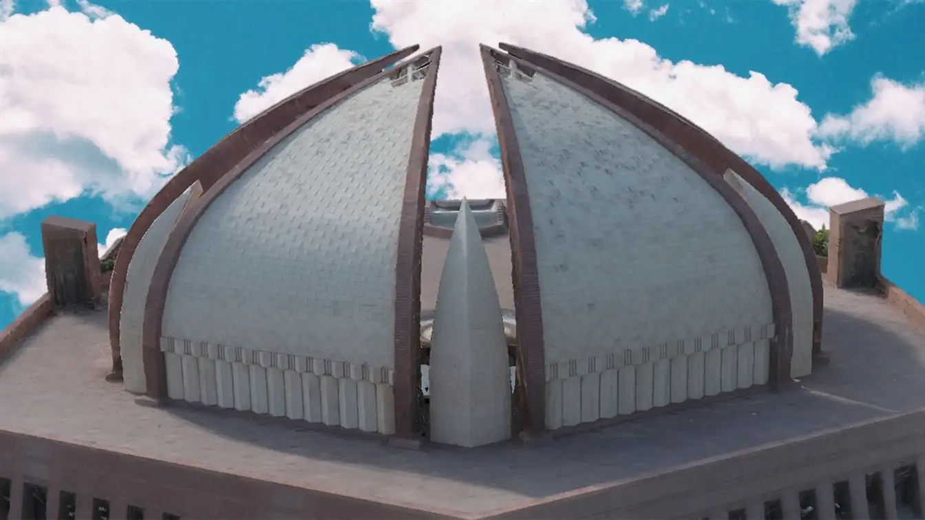
3D laser scanning
Laser scanning and photogrammetry that turn real places into measurable point clouds, digital twins and BIM models.
Explore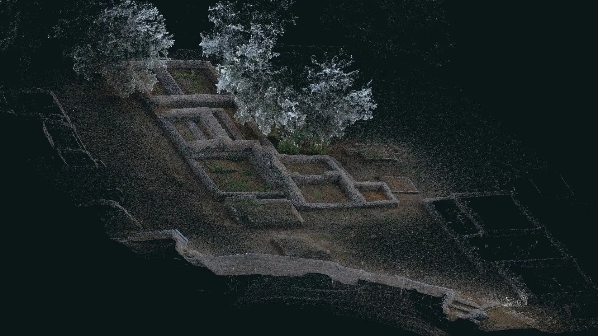
LiDAR SLAM mobile mapping
Handheld LiDAR scanners with SLAM capture whole buildings, sites and corridors in a single walk, as measured, colourised point clouds.
Explore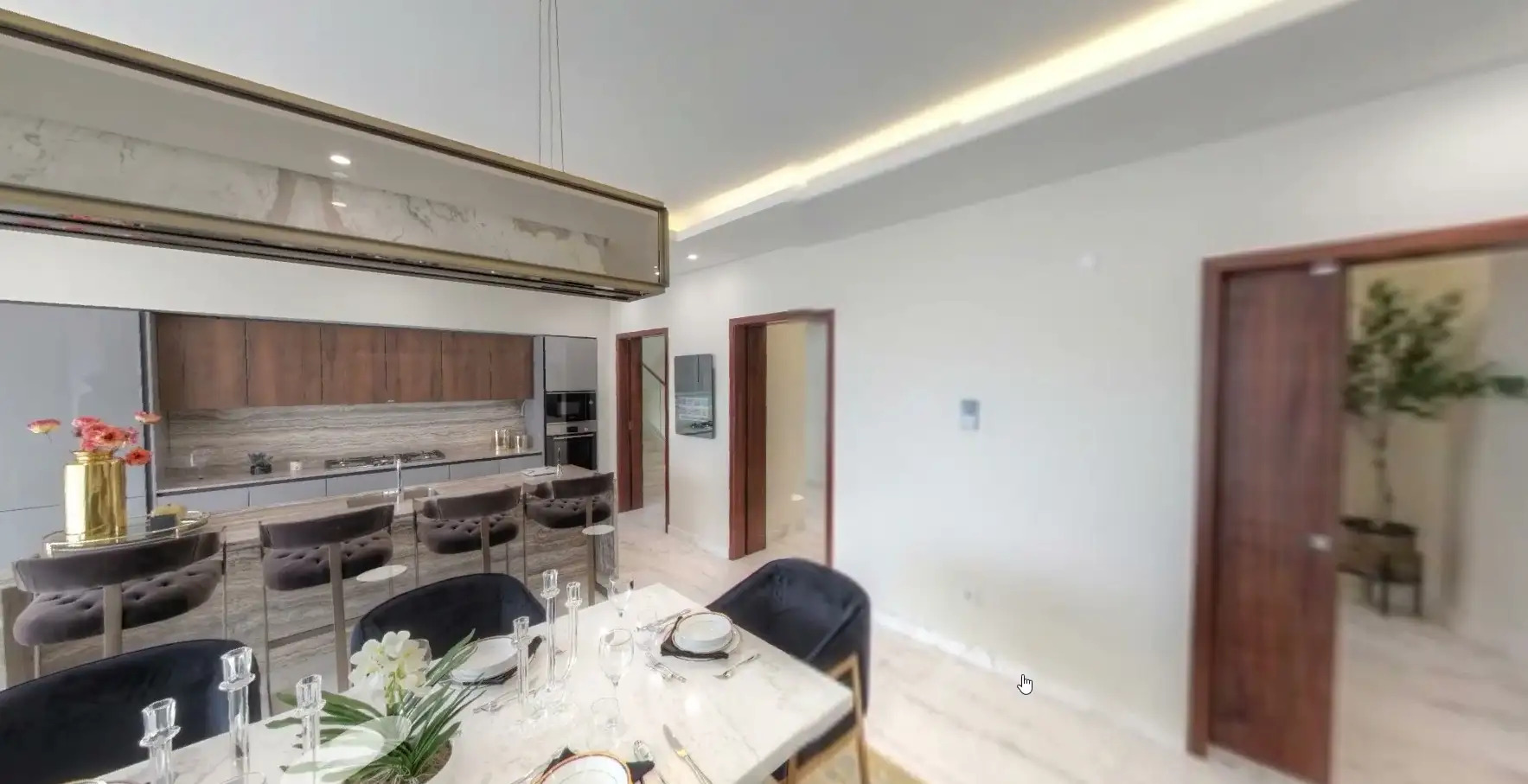
Virtual tours
Put your housing project, mall, campus or museum on Google Street View and the web with immersive 360° tours.
Explore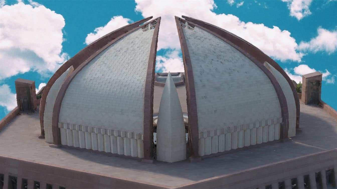
2 billion m² digitised
Reality capture
3D laser scanning and reality capture
Terrestrial laser scanners, LiDAR SLAM mobile mapping and photogrammetry turn buildings, heritage sites and plants into measurable point clouds, digital twins and BIM models.
Scan-to-BIM and as-builts
Point clouds and BIM models of existing buildings for renovation and facility management.
Heritage preservation
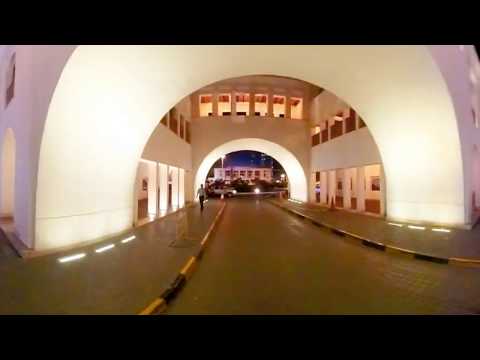
Digital twins of monuments, as delivered for UNESCO at Makli and in Manama, Bahrain.
Industrial and plant scanning
Accurate models of ageing structures for inspection, clash checks and redesign.
Mining volumetrics
Repeatable stockpile and excavation volumes, daily, weekly or monthly.
Projects
Trusted with world heritage and landmark developments
From UNESCO World Heritage sites to housing societies and Bahrain's historic souq. All projects
 360° tour
Makli Necropolis 3D preservation (UNESCO World Heritage)
Highly detailed 3D preservation of three structures at one of the largest necropolises in the world, with UNESCO and the Government of Sindh.
 360° tour
Manama Souq scan-to-BIM digital double
A scaled, highly detailed 3D digital double of Bahrain's historic souq, used by architects to upgrade its facades.
Lahore Museum virtual tour
An immersive 360° tour of one of Pakistan's most important museums, created with UNESCO and embedded by partners online.
Try a live tour
Walk the Lahore Museum in 360°
Our virtual tour of the Lahore Museum, created with UNESCO, is embedded by partner websites and found by visitors on Google. Open it in your browser or a VR headset.

Archviz studio
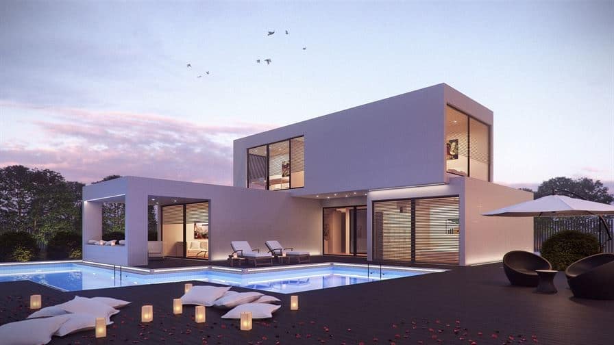
Architectural rendering and animation
Photorealistic exterior and interior renders, walkthrough animations and 360° tours for housing projects, towers and malls.
See the portfolio